
A Practical World Rivers Quiz With Explanations
A long-form educational quiz that tests river knowledge while explaining geography, trade, ecosystems, and common misconceptions.
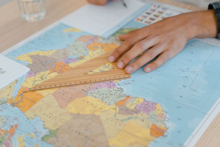
A Practical World Rivers Quiz With Explanations
Rivers are memory lines on a map. They carry water, sediment, trade, language, borders, myths, and city names. A good river quiz should do more than ask for labels. It should help you understand why rivers matter, how they shape regions, and why some common answers are trickier than they first appear.
Use this quiz as an educational activity, not as a formal exam. Maps, names, and measurements can vary by source and by how a river system is defined. For deeper study, use atlases, national geographic agencies, and educational collections such as the <a href=“https://www.loc.gov/collections/”>Library of Congress map collections</a> as supporting references.
How to play
Answer each question before reading the explanation. If you are playing with a group, ask each person to explain their reasoning, not only give a letter. The explanations are the useful part because they connect a fact to a pattern: climate, terrain, settlement, or trade.
Keep score if you like: one point for each correct answer, and one extra point when you can name a city, country, or historical route connected to the river. A perfect score is less important than learning which clues helped.
Round 1: river basics
1. Which river is most closely associated with ancient Egyptian agriculture?
A. Nile B. Danube C. Mekong D. Rhine
Answer: A. Nile. The Nile supported agriculture through seasonal flooding and irrigation. The important lesson is not just “Egypt equals Nile,” but that river valleys often become centers of settlement when water and fertile soil are predictable enough to support crops.
2. The Amazon River is most famous for flowing through which broad ecosystem?
A. Tundra B. Tropical rainforest C. Mediterranean scrub D. Alpine meadow
Answer: B. Tropical rainforest. The Amazon basin is strongly associated with rainforest, biodiversity, and immense freshwater flow. The basin is larger than the visible river channel, which is a helpful distinction in geography.
3. Which European river is strongly linked with Vienna, Budapest, and Belgrade?
A. Seine B. Tagus C. Danube D. Po
Answer: C. Danube. The Danube crosses or borders multiple countries and connects many cultural regions. It is a reminder that rivers can unite places as much as separate them.
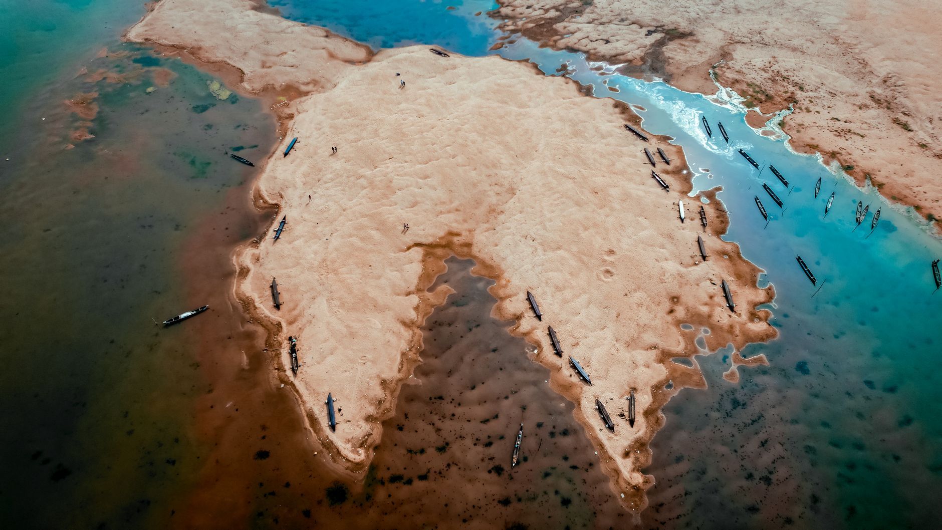
Round 2: use the clue, not the memorized list
4. A river begins in the Himalayas, supports huge populations downstream, and reaches the Bay of Bengal through a large delta system. Which answer fits best?
A. Ganges B. Thames C. Volga D. Limpopo
Answer: A. Ganges. The clue combines mountains, population, and delta geography. When you do not know the answer immediately, identify which options are even possible in that region.
5. Which river is often associated with Paris?
A. Seine B. Tiber C. Vistula D. Elbe
Answer: A. Seine. This question is easy if you know city-river pairs, but it also shows how rivers become part of a city’s identity, tourism, bridges, trade history, and visual culture.
6. Which river is most closely connected with Rome?
A. Arno B. Tiber C. Rhine D. Ebro
Answer: B. Tiber. The Tiber is central to Rome’s geography and history. City-river questions are useful because they connect physical geography with political and cultural history.
Round 3: common misconceptions
7. Does the longest river always carry the most water?
A. Yes B. No
Answer: B. No. Length and discharge measure different things. A long river can pass through dry regions and carry less water than a shorter river in a wet basin. Good geography answers depend on the measurement being asked.
8. Is a river delta found at the source of a river?
A. Usually yes B. Usually no
Answer: B. Usually no. A delta usually forms near a river mouth where sediment is deposited as the river enters a slower body of water. The source is where the river begins. Confusing source and mouth is a common map-reading mistake.
9. Can one river basin include parts of several countries?
A. Yes B. No
Answer: A. Yes. Water does not follow political borders neatly. This is why river management can involve treaties, shared data, and arguments about dams, irrigation, navigation, and pollution.
Round 4: applied geography
10. A city grows where a river can be crossed, goods can be loaded, and nearby land can support farms. Which factor is least relevant to that early growth?
A. Transport B. Water supply C. Fertile land D. Smartphone coverage
Answer: D. Smartphone coverage. The modern joke highlights the serious point: many older cities grew from transport, water, and food systems before digital infrastructure existed.
11. A river flowing from mountains to a plain often changes in which way?
A. It usually becomes steeper forever B. It may slow, curve, and deposit sediment C. It becomes saltwater immediately D. It stops needing tributaries
Answer: B. As gradient changes, rivers can slow and deposit material. This helps explain floodplains, meanders, and fertile valley floors.
12. Why might people disagree about the “source” of a river?
A. Some rivers have complex headwaters B. Maps are never useful C. Rivers do not flow downhill D. Cities choose sources by vote
Answer: A. Large river systems can have many tributaries and possible headwaters. Definitions may use length, flow volume, tradition, or named channels.
Study notes after the quiz
If you missed several questions, review maps by basin rather than by country. Trace where a river starts, which landscapes it crosses, which cities sit along it, and where it reaches the sea or an inland basin. This method builds a mental story instead of a loose list.
For a second round, choose one continent and make your own five-question quiz. Include one city-river pair, one source-or-mouth question, one ecosystem question, one trade or history question, and one misconception. Teaching the question is one of the fastest ways to learn the pattern.
Score guide
0-4 correct: start with a labeled physical map and focus on source, mouth, and major cities. 5-8 correct: you know many anchors; now study basins and deltas. 9-12 correct: add harder questions about tributaries, discharge, dams, and regional water issues. The goal is not trivia alone. The goal is seeing how water organizes human and natural geography.
Round 5: map-reading challenge
13. If a river has many tributaries, what does that usually tell you?
A. It has no basin B. Smaller streams feed into it C. It cannot flood D. It must be artificial
Answer: B. Tributaries are part of how a river system gathers water across a field. Looking at tributaries helps explain why rain far from a city can still affect water levels downstream.
14. Why do many river cities have bridges as landmarks?
A. Bridges make rivers vanish B. Crossings concentrate movement C. Bridges prevent trade D. Rivers only exist in capitals
Answer: B. A reliable crossing can shape roads, markets, neighborhoods, and military strategy. Bridges become symbols because they turn a barrier into a connection.
15. Which clue suggests a river may support irrigation?
A. Nearby dry land and managed canals B. No farms nearby C. No settlement anywhere D. Only mountain ice
Answer: A. Irrigation appears where people manage water for crops. It can support food production, but it can also create debates about water rights, salinity, and downstream needs.
Extension activity
Choose a river near your region or one you have heard about in the news. Find its source, mouth, major tributaries, and three cities or towns along it. Then write one paragraph explaining why people care about that river. Include transport, drinking water, farming, energy, culture, or flood risk if relevant.
This activity turns quiz knowledge into geographic reasoning. Instead of memorizing that a river exists, you ask what work it performs in a field. That habit helps with history, environmental science, current events, and travel reading.
How to make the quiz harder
To increase difficulty, remove the multiple-choice options and ask for a short explanation. For example, instead of choosing the Danube from a list, ask: “Name a river connected with Vienna and explain why rivers often support capital cities.” This tests retrieval and reasoning together.
Another harder version is to give a blank map and a clue. Even approximate placement helps. Geography improves when facts attach to space, not only to words.